Duration: 5/28/2021 – 6/4/2021
Outline: Seattle – Hurricane Ridge – Sequim – Sol Duc Rain Forest – Mount Storm King – Lake Crescent – Forks – Rialto Beach – Hoh Rain Forest – Ruby Beach – Kalaloch – Lake Quinault – Seattle
Keyword: Road trip; Olympic Peninsula; Rain forest; West Coast; Hiking; Museums
While COVID hasn’t ended in US, the vaccination did bring more confidence to people who haven’t travel for a while. During this year Memorial Weekends, I saw the news from Zion National Park that visitors got into the line to wait park shuttle for almost a maximum of 2 hours. I believe Zion is not the only story, people were seeking for an opportunity to have some fresh air. Since I’m still a little bit worried about being exposed of a massive people gathering, I selected to visit Olympic National Park since it hasn’t reached its peak season during July and August.
When people talk about Olympic National Park, these words usually pop up: “Primeval Forest”, “Snow-caped Mountains”, “Indian and Pioneer History”, “Sparkling Streams and Lakes”, “Spectacular Coast”. Yes, Olympic National Park, which is located at Olympic Peninsula west of Seattle, lives up to its reputation to become one of the most diverse national parks.
– Day 1 –
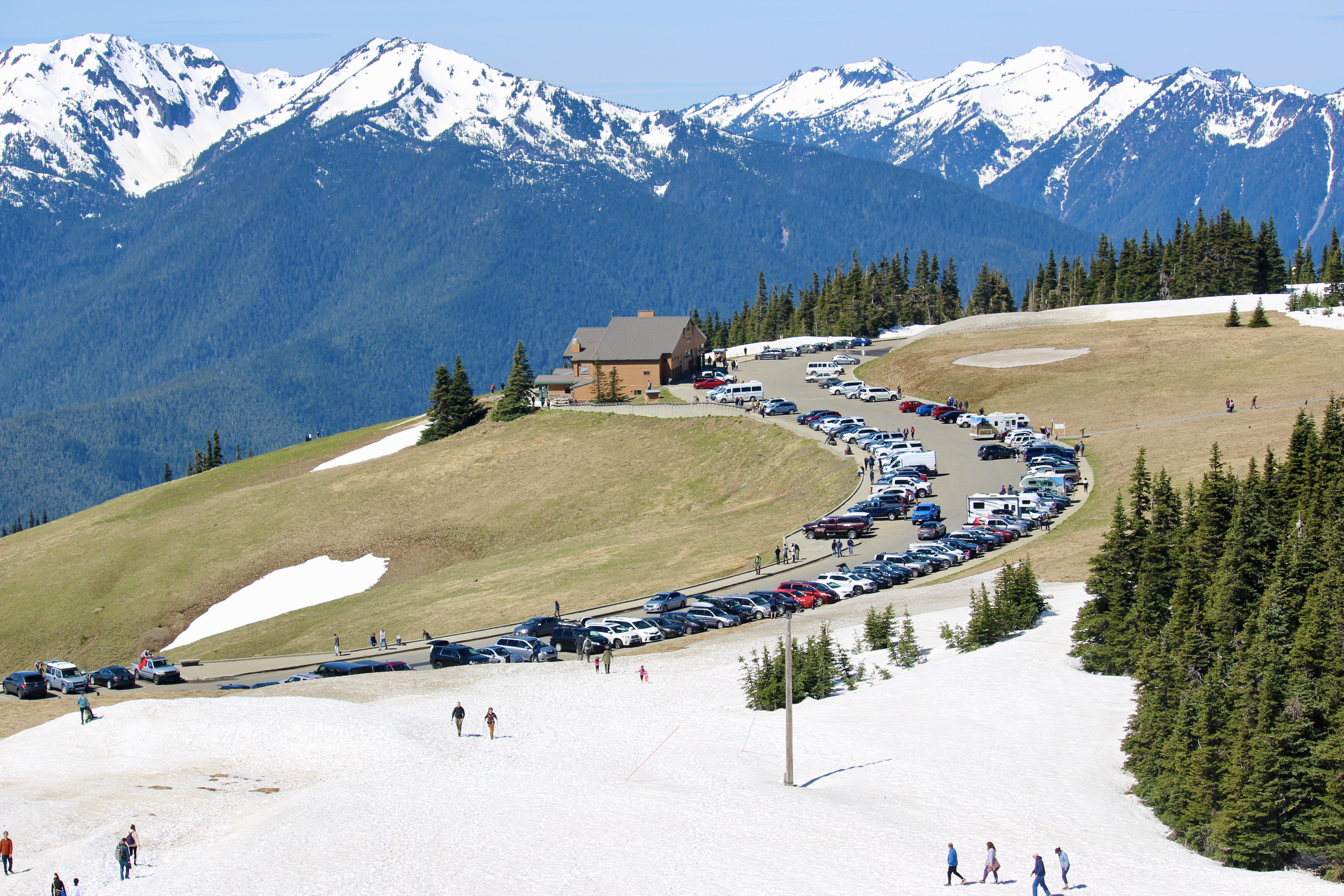
Hurricane Ridge
After we arrived Seattle and rested for one night, we started the journey to our first stop – Hurricane Ridge. It is one of the hottest spot in the park. So remember to visit this area early (before 10am or after 3pm) to avoid heavy traffic and long lines during holidays and peak season. If you set off from Port Angeles, it will be an only 18 miles drive. The area is popular with its spectacular view of glacier-capped mountains and winter activities like snowshoeing, skiing, and tubing. We hiked part of High Ridge trail to Sunrise Point (very short hike) on the snow, but skipped the last part since it’s too slippery at the ridge. The Strait of Juan De Fuca could be observed during the hike.
Sequim
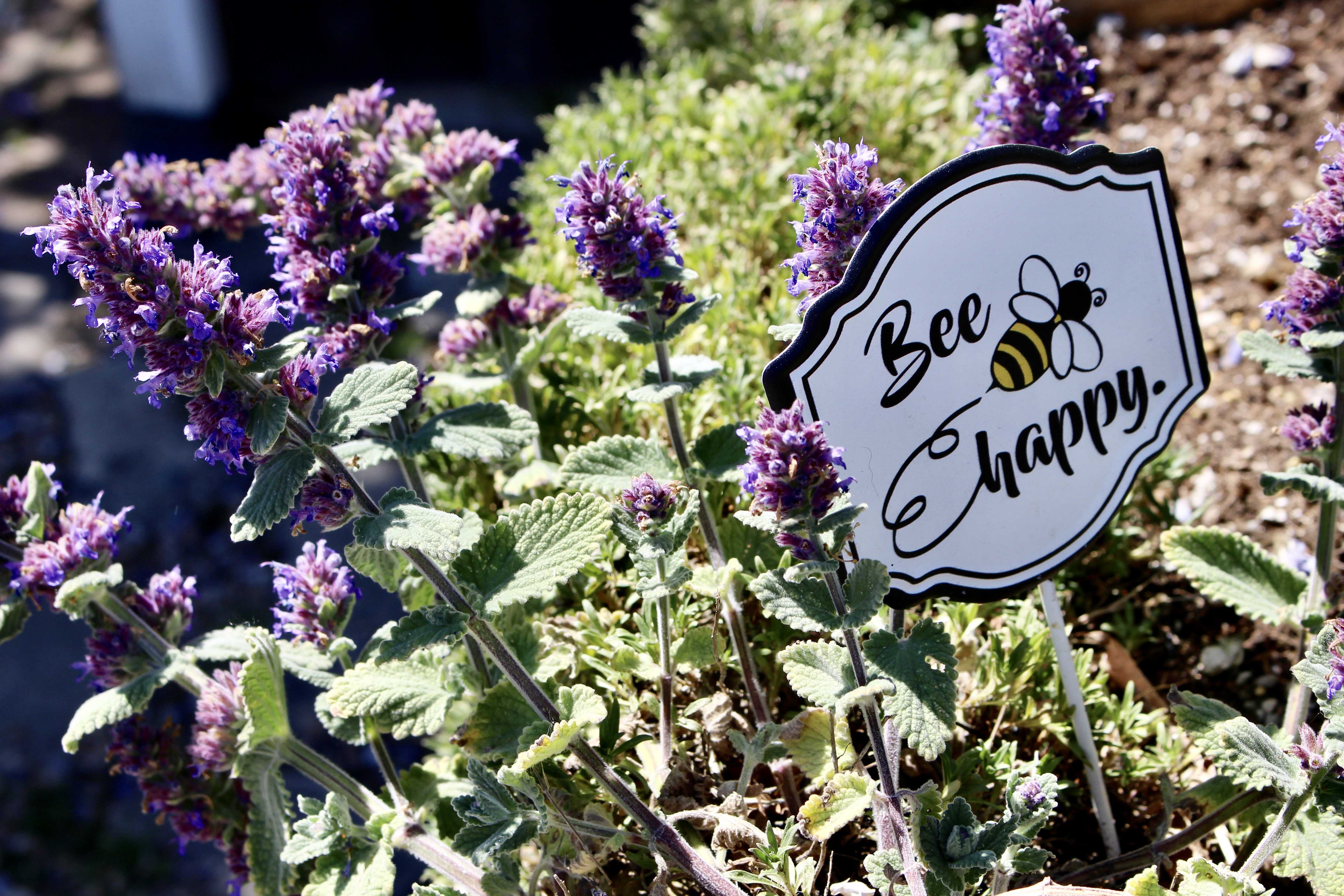
In the afternoon, we visited the world class lavender town – Sequim. It’s a small but elegant town adjacent to Port Angeles. The lavender will fully bloom in July, so we were only able to see a dusting of purple. A Lavender Festival usually hold at the third weekend of July each year. The best way to experience this town is through driving or cycling following the scenic drive.[1]
Couple of lavender farms were stretched along the scenic drive. The first one we visited is Purple Haze Lavender Farm. It had a very rustic flower garden with hen house and two peacocks. It provided wedding venue, U pick services, and vacation rental. A virtual farm tour is available on its website.[2]

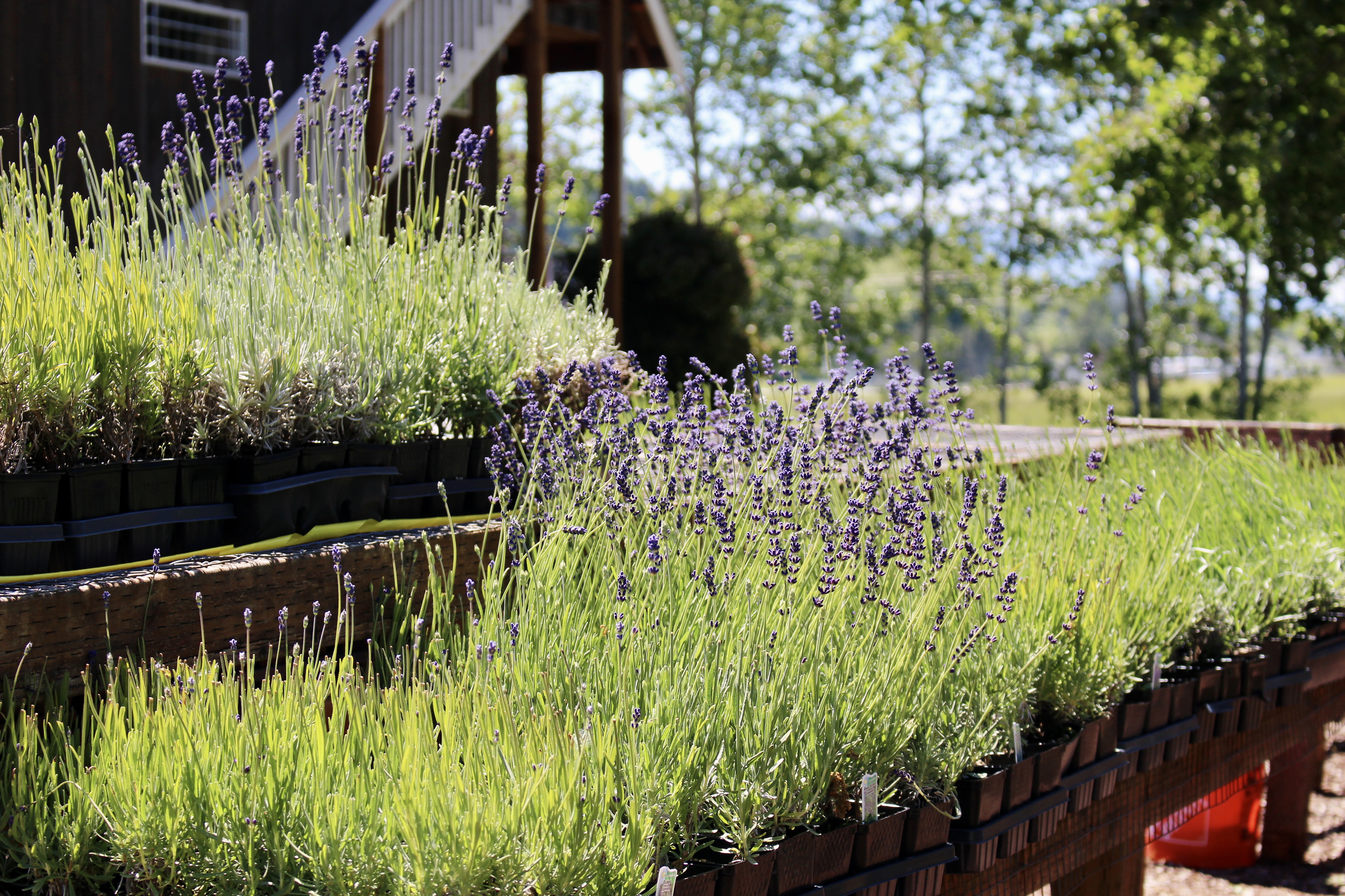
The farm we highly recommended is B&B Family Lavender Farm. It was managed by a couple, Bruce and Bonnie. They bought the farm from Angels family who originally converted this place to a lavender farm from a dairy barn. Bruce and Bonnie was so nicely to conduct a free educational tour about how lavender products were made, and the shop had some really reasonable price gifts. The farm is 12 acres and has 16 varieties of lavender. Basically two main species, French Lavender mostly (light and grey color) for fragrance related products, and English Lavender generally (dark purple color) for edible purposes. B&B family usually need to spend 2 months to collect matured lavender each year, since different species would fully bloom at slightly different time. Then those collected lavender need to be hanged and dried to make sure the smells can last long. They sold dried lavender to Hobby Lobby or Michael’s and part of them would be used to squeeze for oils. They had some machines and coopers to clean and distill the lavender. 10 lavender plants can only produce 5 oz of oils, that’s why the oil is not cheap. Some of the local teachers used their oil products to calm children with Autism and they always provided good feedback. Feel free to check the how-to guide on their website for more lavender info.
– Day 2 –
Sol Duc Valley
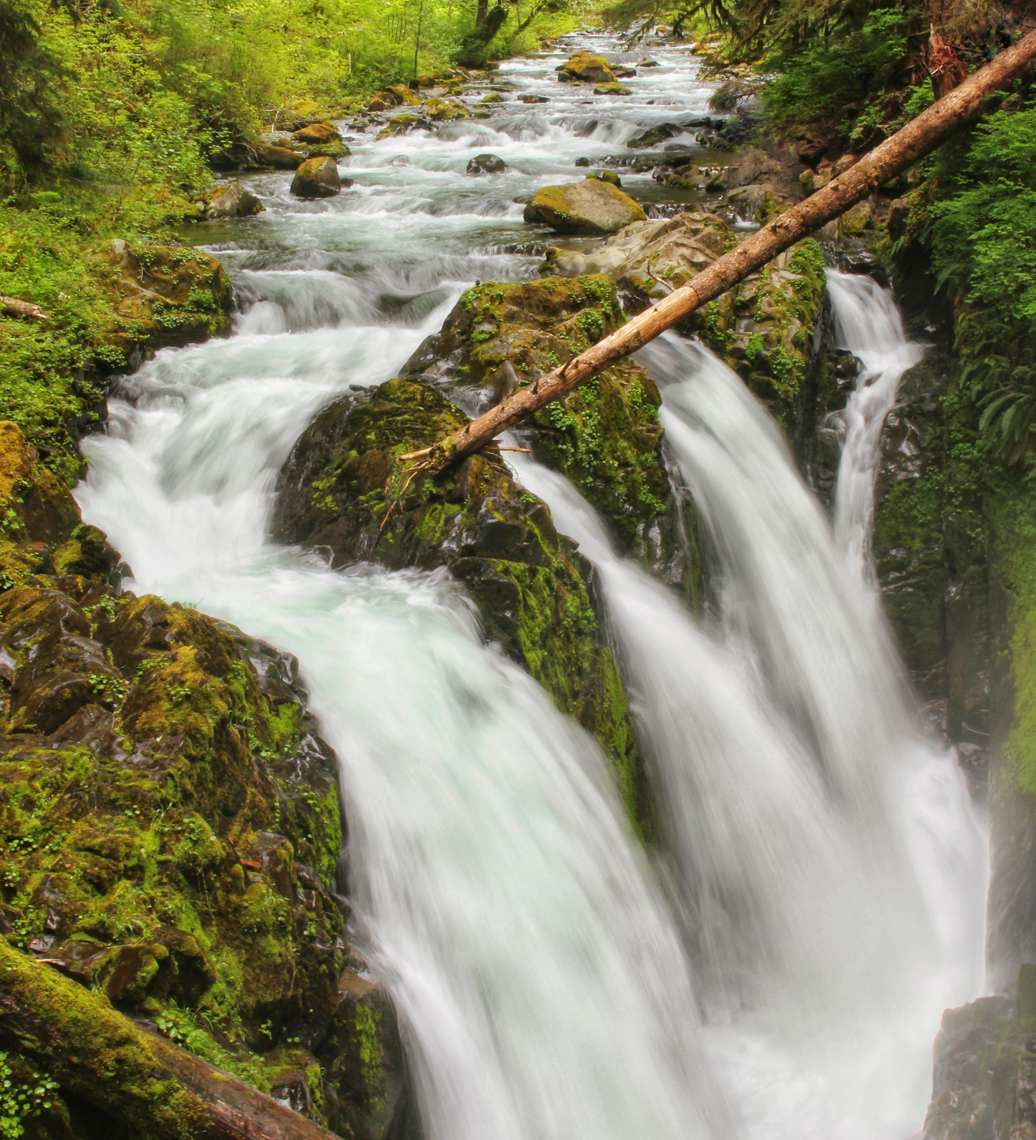
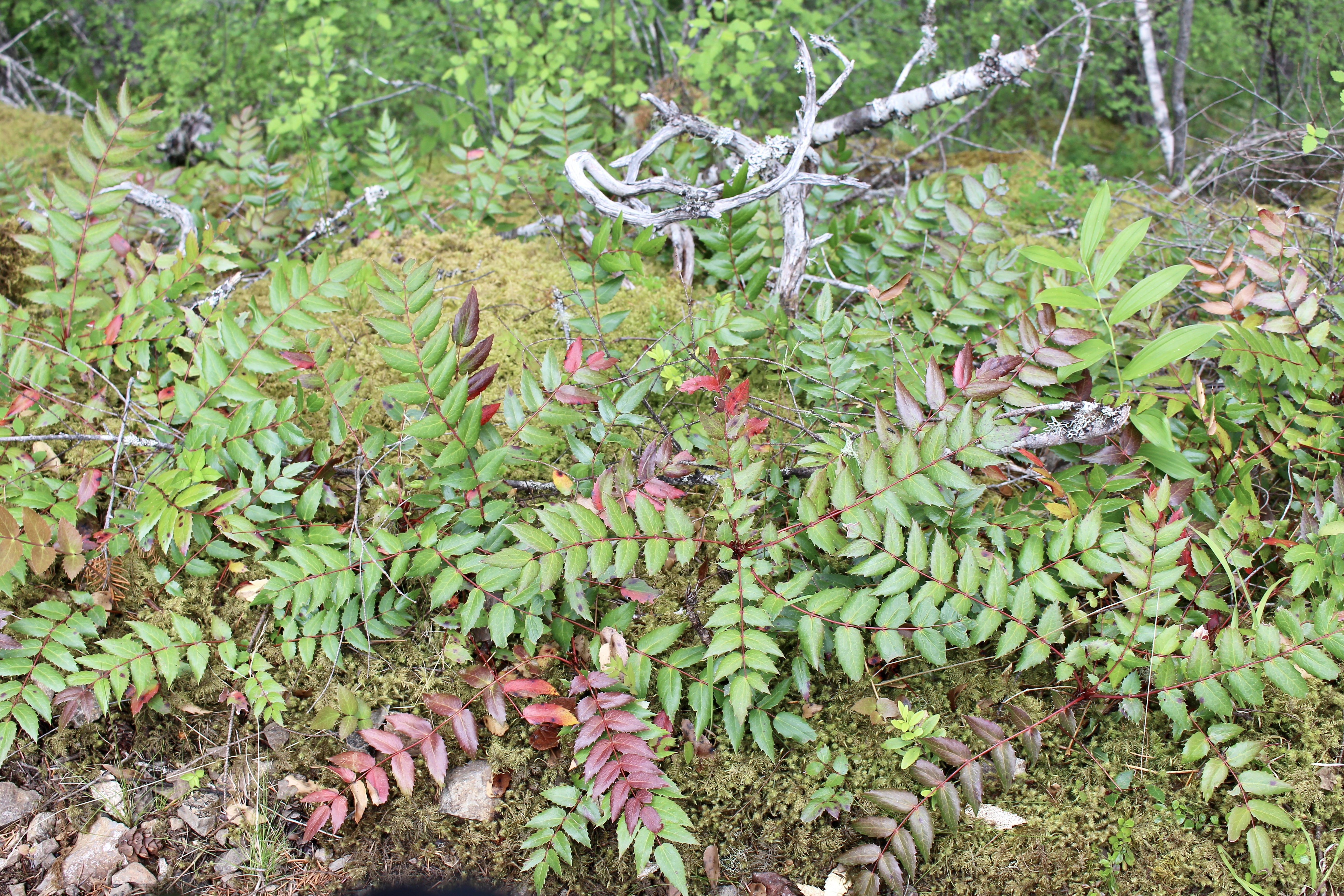
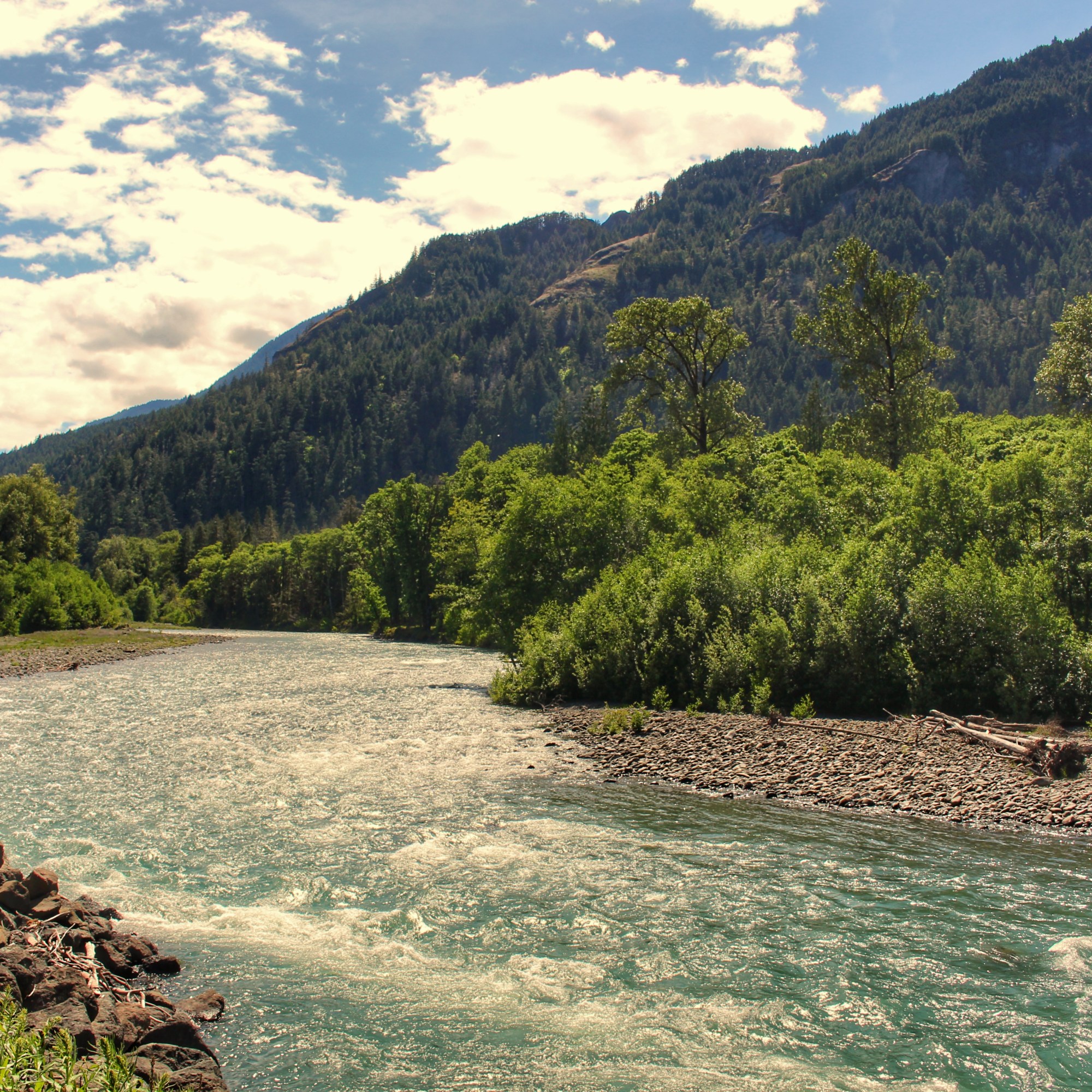
Day 2 actually began in the early afternoon, since we need to take care of our own business in the morning. We drove 1 hour to Sol Duc Valley for experiencing the primeval forests and waterfall. We picked Sol Duc Fall Trail and Salmon Cascades as stop points. Sol Duc Fall Trail was not initially on my to-do list since online pictures didn’t seem to be attractive. But the reality is sometimes opposite with what you expected. We were totally shocked about what was showing to us. The river plunges over Sol Duc Fall called Sol Duc River, which is one of the five rivers flow across Olympic Peninsula. The water begins from melting glaciers of Olympic mountains and flow through temperate rain forest, and then into the western Pacific Ocean. The other four rivers are Quinanalt, Queets, Hoh, and Bogachiel.
Each year thousands of Coho Salmon swim upstream from Pacific Ocean to rivers and streams for spawning and starting another lifecycle. A Coho Salmon can have an average size of 9 pounds, and can leap 11 feet up. One female can spawn 3,000 eggs. The young fish spend one year in freshwater streams before running into the sea. Most Coho spend 2 years at sea before migrating back to complete their life cycle and die. The best place to view Coho leap is on the Salmon cascades while driving through Sol Duc Valley. The best season to observe is Sep – Dec.
– Day 3 –
Mount Storm King
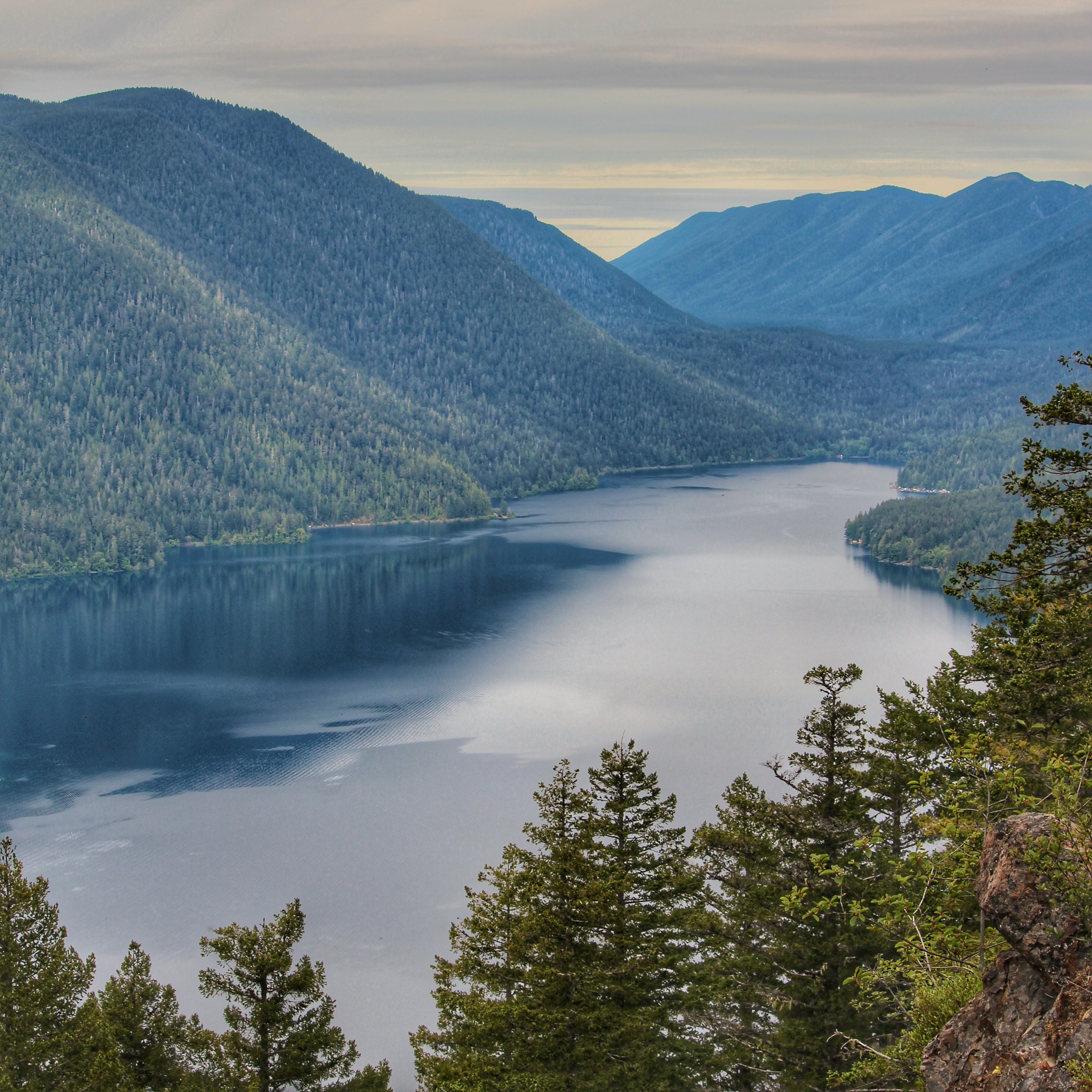
Day 3 started with an early strenuous hike – Mount Storm King Trail. It’s located at south of Lake Crescent. The trail starts from Storm King Ranger Station and initially follows Marymere Fall Trail (another popular trail in the park). It’s not long, just 5.3 mile out and back. However, it’s steep during almost entire trail and the last section is unpaved with loose rock and dangerous edges. Highly recommend to take the poles and take your own risk if you decide to climb the last proportion.
On the top, Lake Crescent is visible with its superior clear and crystal blue water. It’s the second deepest lake in Washington State with the deepest area of 190 m. The crystal blue color was caused by a lack of nitrogen in the water which inhibits the growth of algae.[3] Lake Crescent is the central of the park and surrounded by many trails. The upper section is only accessible by foot or bikes. It would be great to hop on a bike from Log Cabin and cycle the lake side through part of the Olympic Discovery Trial.[4]


Elwha Valley
While hitting the road back, we stoped by the Elwha Valley. It’s closed for vehicle access beyond Madison Falls parking lot due to the road’s wash out. Historically, Klallam tribe replied on salmon for food source in the area. When Elwha dam was built, it blocked the salmon migration from south. Fortunately, Congress passed a law to restore the area and authorize to remove the dam, which lead to recovering.[5] We were also planning to check out Lower Elwha Fish Hatchery. However, the Klallam reservation is closed due to COVID for protection of tribe residents. There are also some other reservations right down the road, and they were all closed for the same reason. So remember to plan accordingly.

Ediz Hook
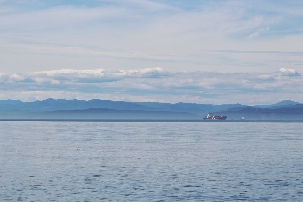
You usually feel one day can last so long if you get up earlier. Since we had some extra time for the day, we went to Ediz Hook. It’s a 3 mile spit extended from Port Angeles. You can observe the entire Port Angeles town and Olympic Mountains are stunning your eyes as background. Couple of stop points were found to be used for picnic and beach-combing.
Since we’re talking about beach-combing, now probably it’s the right time for me to bring the Razor Clam Story. In Olympic Peninsula, many coastal areas provide locals with opportunities for beach-combing. People can self-explore shellfish like Razor Clams during low tides. Recent years, a kind of algae which produces domoic acid threatens coastal shellfish harvest. When people eat shellfish with high levels of domoic acid, they can develop poisoning with symptoms like nausea, vomitting, diarrhea and abdominal cramps, even short time memory loss in serious cases. This causes both recreational pause and economic impact. North-western coasts have been exposed to mild/moderate domoic acid, while Monterey bay, Morro Bay, and Santa Barbara channel in California have been identified as hotspots. Local departments currently monitor the level of domoic acid closely during beach-combing season to prevent residents from getting poisoned by polluted shellfish.

– Day 4 –
Forks – Timber Museum
Forks is a small town that you will have to drive through if you plan to visit south west beaches on Olympic Peninsula. The town is built upon the logging history. Forks Timber Museum will hands over you every piece of timber history. The growth came slowly to Forks initially. Timber was mostly cleared by settlers and small-time loggers using ox teams. While World War I began, wood products were in high demand for war production.[6] Stika spruce brought west end in focus since it’s the most important tree species with great combination of strength, lightness, and resiliency for aircraft production.
Besides Stika spruce, there are also huge Western Red Cedar in this area. The exaggerated growth of these big trees are caused from the generations of Sapsucker birds. Those birds peck a level of holes into the bark to reach the internal layer of sap to feed their youths. To react, Red Cedar accelerates the growth to heal the wounds.
Bear even eat barks as well, especially they wake up from hibernation. They become omnivorous at this time since their typical food supplies such as berries aren’t ripe yet. Bears like to feed themselves with the sweet sapwood of new growth, which cause a forest damage. During modern forest management, timber owners developed a win-win solution to feed bears with special fruit pulps and vitamin mixture which result in bears to prefer these new diet rather than sapwood, ultimately create and maintain a bountiful forest.
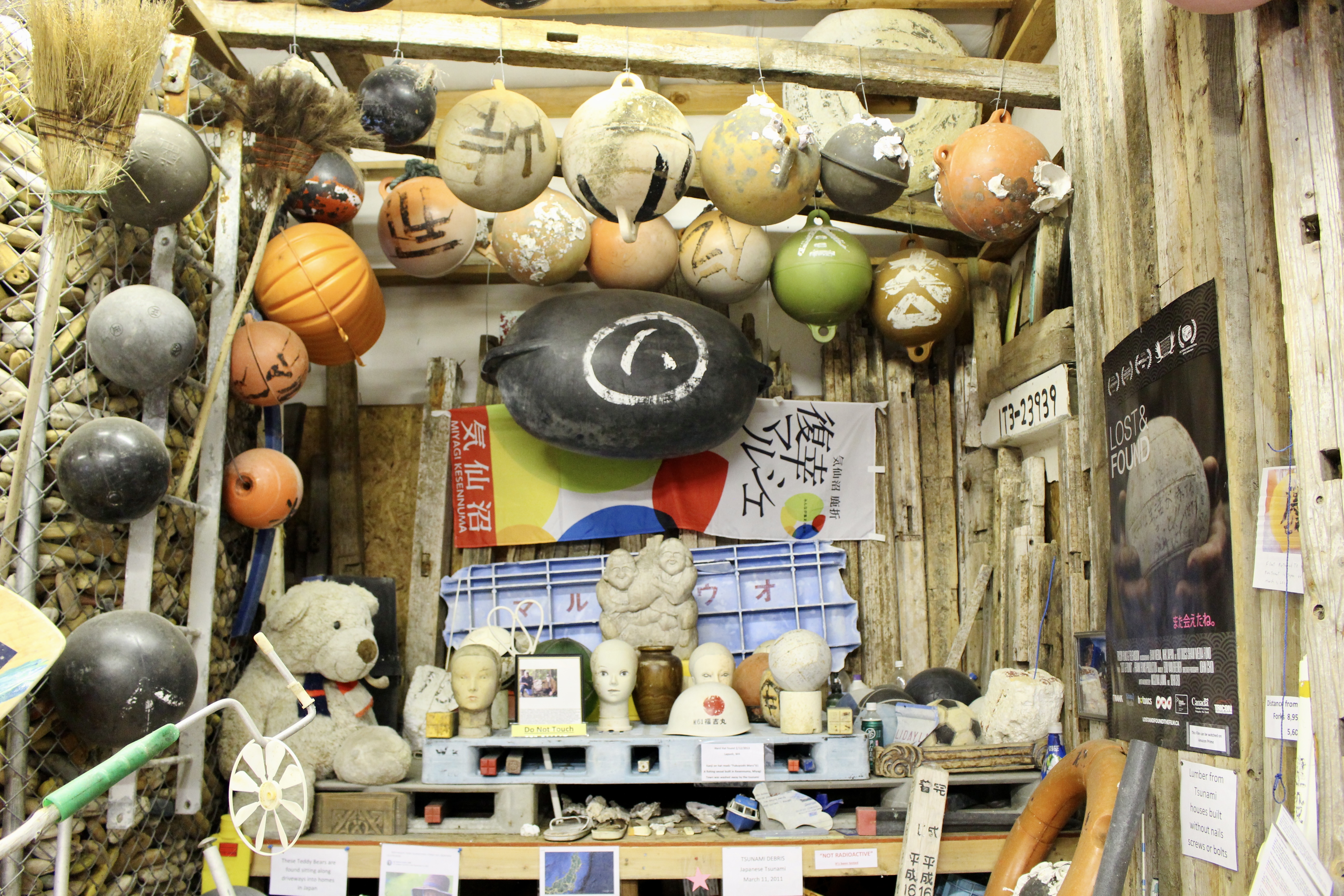
Forks – John’s Beach-combing Museum
Another treasure we found is John’s Beach-combing Museum. Before John Anderson established this museum since 2015, he was a plumber and spent decades to collect buoys and floats on beaches. Most of his collections come from the North West beaches, but some items were collected during his travel to different places. He also transitioned some of his collections into art works and exhibited in the outside garden.
John was featured in a documentary film which talked about his story to collect buoys and floats from 2011 Japanese Tsunami. This massive natural disaster took 20k lives and the debris floated to pacific northwest during the following years. He traveled to Japan and tried to find the owners of these floats. It was an emotional trip and these debris are not garbage to him. Each piece tells a story. The film is available on Amazon.[7] He also collected bottle messages. The oldest one was dated back to 1930s.

– Day 5 –
Rialto Beach, Ruby Beach and Kaloloch Beach 4
Today is a beach day! Rialto Beach + Ruby Beach + Kaloloch Beach 4. Rialto beach is located at Mora area, 30 mins north west from Forks. We followed Hole-in-the-wall trail for a beach walk to enjoy sightseeing. We also encountered some sea creatures (sea lion and otters) were feeding with fish. Rialto Beach is featured with hundreds of driftlogs.
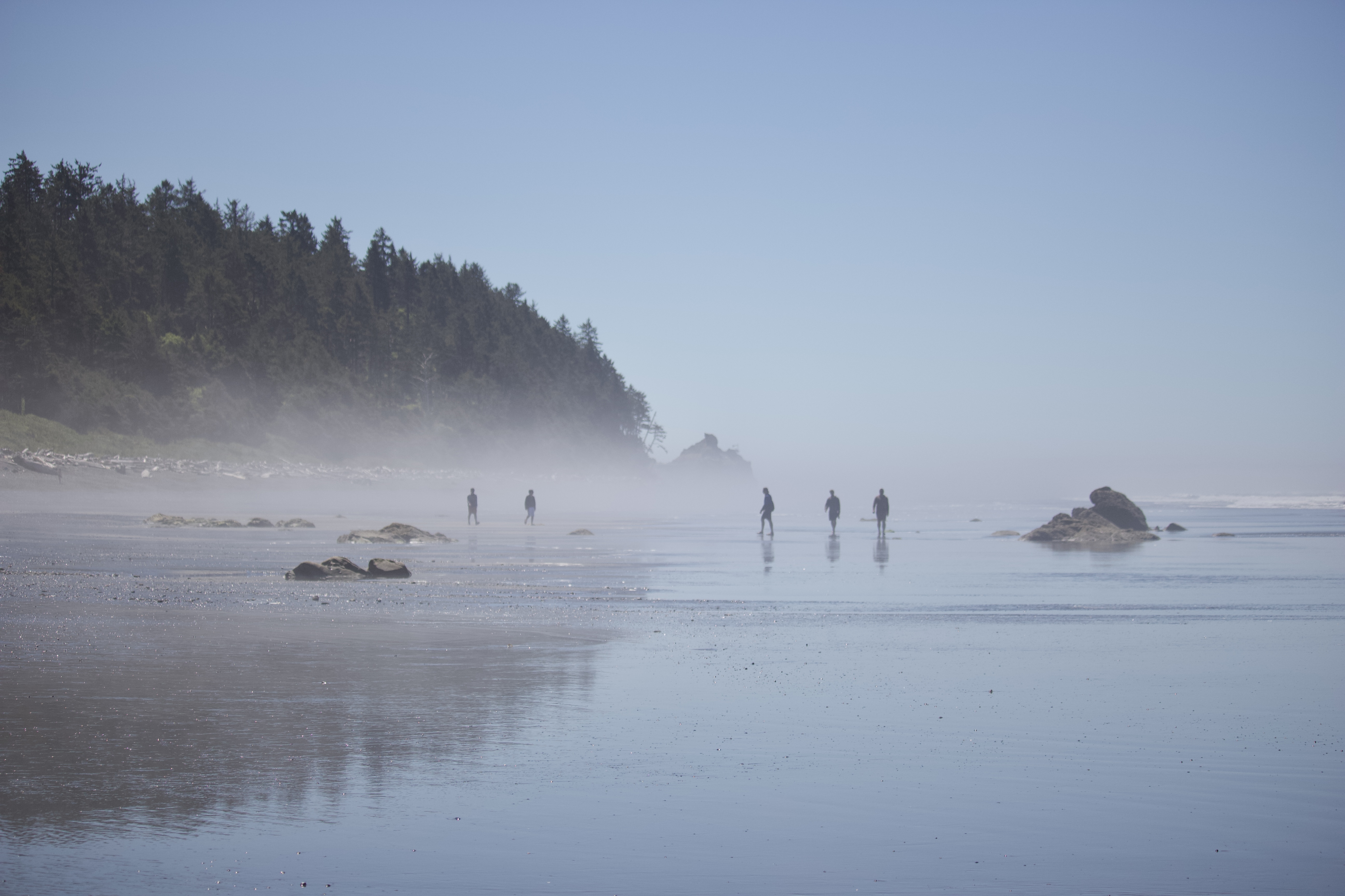
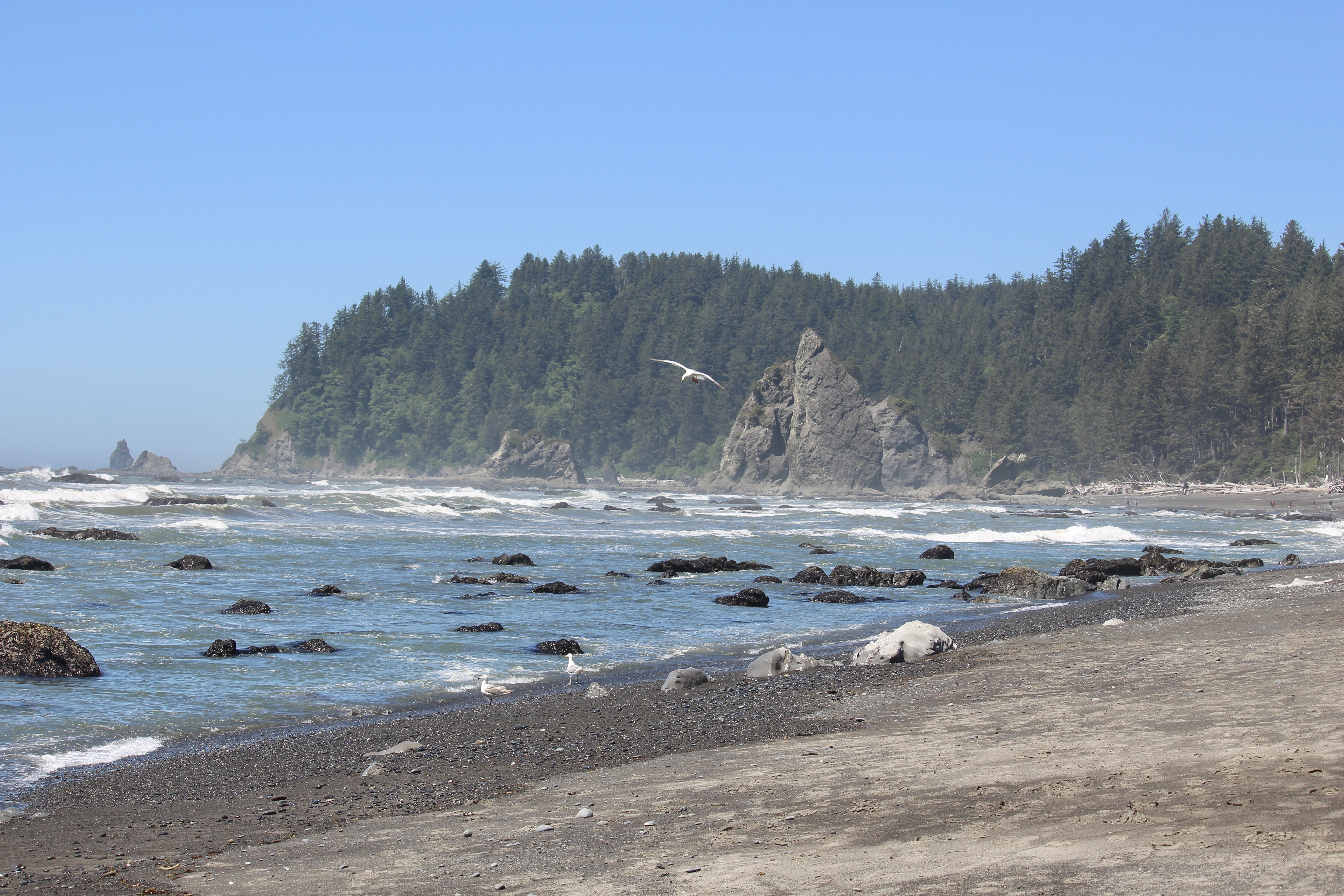
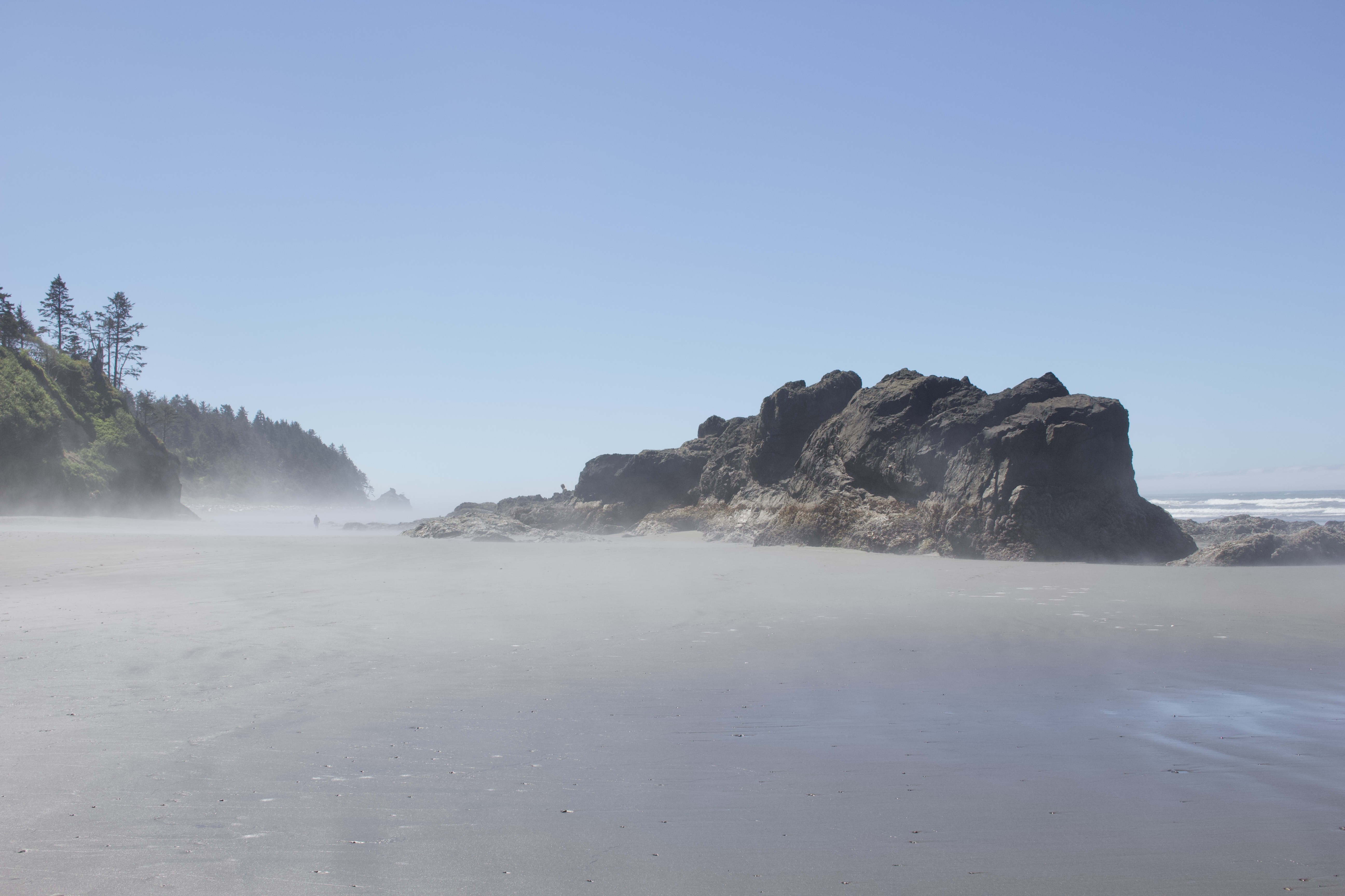
Ruby beach is misty and featured by its unique rock formations. It got the names for reddish sands. Tide pools could be found there but not promising. While Kaloloch Beach 4 is famous for the tide pools. The tide pools are found in intertidal zones, usually accessible during low tides. It’s a home to a variety of surviving organisms, such as sea stars, limpet, green sea anemone, etc. Twice a day drowned in sea, and then exposed to drying sun. Always remember to check tide before exploration.[8]